You can get a weather forecast for all the hills/mountains in Ireland in many way – on our website using the search box above, on the Met Éireann app search feature, or from the dropdown widgets below. Air temperature forecasts are corrected for elevation for the first 48 hours only. After 48 hours reduce the temperature by 2 °C for every 1,000 feet/304m gained. Use the wind gusts instead of the mean speeds for a more representative value of mountain peak wind. Consult Happy Hiking.
Munster
Connacht
Leinster
Ulster
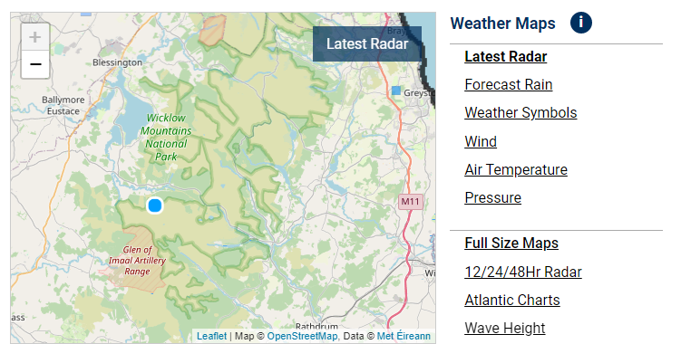
Or you can generate a 10-day forecast for any location in Ireland on the desktop version of our website homepage – simply zoom into the Weather Map and click anywhere on the island of Ireland (example below). The hourly forecast above it will update to that location. This feature is also available on Android Chrome browser by ticking the Desktop site option.

The freezing level is the altitude/height in meters at which the air temperature is zero degrees Celsius. Above the freezing altitude, the temperature of the air is below freezing. Below it, the temperature is above freezing. This means that above the freezing level the precipitation will be sleet/snow then snow and lying snow will remain. Freezing fog could also occur. Valentia Tephigram. The air temperature shown is the temperature at the ground level, for reference.

As a guideline, Low cloud is below 2km, Medium cloud is between 2 and 6km, and High cloud is above 6km. These heights are approximate, and a ‘standard atmosphere’ is assumed.
Mountaineering Ireland provides advice to help people enjoy Ireland’s mountains safely and responsibly. Visit Walking in Winter. Be prepared to alter the route to meet the needs and interests of the group, and the weather conditions. Remember wind speed increases and temperature decreases as you go uphill.
High wind in the Mountains and the Impact on Hikers
High wind in the mountains can be a real game changer, it can have a profound effect on safety and morale. It can make it feel much colder than it actually is (wind chill effect), and can be unpredictable in direction and speed.
-Excerpt above and table below credit: Russell Mills. The full article is available at Mountaintrails.ie
| Wind speed in km/hr | Effect on you | What should you do? |
|---|---|---|
| Less than 20 | Negligible | Continue as planned |
| 20-30 | Unlikely to affect your balance or control. At these windspeeds in winter a temperature of 0C will have an equivalent wind chill of around-10C. | Add an extra warm layer. Prevent small items from blowing loose.
Goggles will be useful in winter conditions. |
| 30-40 | You will begin to feel the buffeting effect of the wind. Progress into a head wind will become more laboured. It will be harder to maintain your balance when walking. | Keep way from steep and exposed ridge lines. Secure your map and tie down loose clothing and secure toggles to prevent them whipping around. |
| 40-50 | Walking will become more difficult. Energy output will be significantly increased. Expect a greater risk of being blown sideways and off balance. | Consider changing your route to avoid a head or cross wind. Be prepared to shorten the day. Check companions for signs of hypothermia and frost nip, particularly in winter. Navigation will become more difficult. |
| 50-60 | Walking will become very challenging. There is a strong chance of being blown off your feet. | Link arms with weaker members of your group. Try to move between the worst gusts. Get off the hill by the safest and easiest route keeping away from steep windward drops. |
| 60-70 | As above | If you must venture out in these conditions then keep to the valley floor. |


