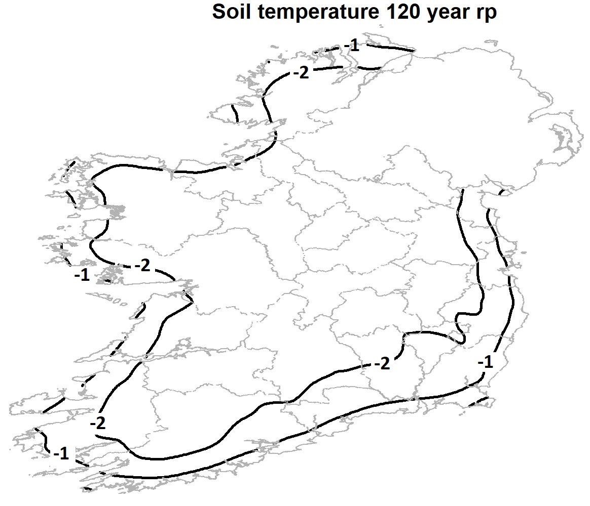
The climate of Ireland is changing. Consequently, the Department of Housing, Local Government and Heritage funded this project to update ‘Climate maps and data to support building design standards in Ireland’. This research aimed to produce maps of isotherms of the lowest 10cm soil temperature for the return periods of 50, 100 and 120-year for use in building design to enhance resilience in support of climate change adaptation in Ireland.
Met Éireann produced the first maps of isotherms of the lowest 10cm soil temperatures for 50, 100 and 120-year return periods for Ireland and based on the generalised extreme value distribution. These maps will assist the design of buildings to enhance resilience in support of climate change adaptation in Ireland and stakeholders should adopt them.
The outputs of this research will benefit a wide range of stakeholders currently collaborating with Met Éireann, such as the National Standards Authority of Ireland and the Department of Housing, Local Government and Heritage. This report will also inform policy in delivering key national infrastructure such as housing and building renovation.
It is hoped that the detailed explanation of the methodology provided here will assist regulators in adopting these new maps in their own jurisdictions.
Read the full report:
Mateus, C., and Coonan, B. 2022. Isothermal maps of the lowest 10cm soil temperature in Ireland. Climatological Note No. 19. Dublin: Met Éireann. REPORT.
