Sea Area Forecast
Forecast valid from: 12:00, Wednesday 30 July 2025 until 12:00, Thursday 31 July 2025
Small Craft Warning
Nil
Gale Warning
Nil
Meteorological Situation at 09:00 UTC
Ireland lies in a moderate westerly airflow between an anticyclone of 1031hPa in the mid-Atlantic and a depression 998hPa centred to the northwest of Iceland.
Heavy Swell (>4m) : Nil
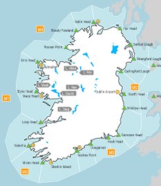
Forecast for Irish coastal waters from Carnsore Point to Mizen Head to Erris Head
Wind: Westerly force 3 or 4, reaching force 5 at times. Later veering northwesterly.
Weather: Cloudy with patches of rain, drizzle, mist and fog.
Visibility: Moderate or poor in precipitation, mist and fog.
Forecast for Irish coastal waters from Erris Head to Belfast Lough to Carnsore Point and for the Irish Sea
Wind: West to southwest force 3 or 4, reaching force 5 at times. Soon veering west to northwest and decreasing force 2 to 4. Later increasing north to northwest force 3 or 4, reaching force 5 at times.
Weather: Cloudy with patches of rain, drizzle, mist and fog.
Visibility: Moderate or poor in precipitation, mist and fog.
Outlook for a further 24 hours until 12:00, Friday 01 August 2025
Moderate to fresh northwesterly winds, strong at times in the Irish sea on Thursday. Weather: Patches of rain, drizzle, mist and fog clearing Thursday afternoon. Becoming cloudy to fair with isolated showers.
Forecast issued at: 12:00, Wednesday 30 July 2025
All times are local unless specified